There are moments along a long river journey when I find myself looking back upstream and wondering how on earth the water beneath me could possibly be the same river.
This is one of those moments.
Paulette and I have followed the Colorado River from a little mountain stream in Rocky Mountain National Park.
We've watched it wander through alpine meadows and trout country.
We've followed Highway 40 beside it.
We've watched it crash through Gore Canyon.
We've traveled with it through Glenwood Canyon and Grand Junction.
Then we entered Utah and the magnificent red-rock country around Moab, where the Colorado River flows through landscapes that helped create my boyhood image of the American West.
Now we leave Moab.
And what happens during the next chapter is extraordinary.
The Colorado enters Canyonlands National Park.
The Green River joins it.
The combined river plunges into Cataract Canyon.
The canyon walls close around us.
Then the rapids eventually disappear beneath the upper reaches of Lake Powell.
We pass Hite.
Halls Crossing.
The San Juan River.
A seemingly endless procession of sandstone canyons.
And eventually, far downstream, we reach Page, Arizona, Wahweap Marina and Glen Canyon Dam.
This is not a little road trip.
It is a journey through the geological heart of the Colorado Plateau.
And for an old fellow with fishing rods, cameras and an incurable curiosity about the American Southwest, it is one remarkable piece of country.
One Last Look From Dead Horse Point
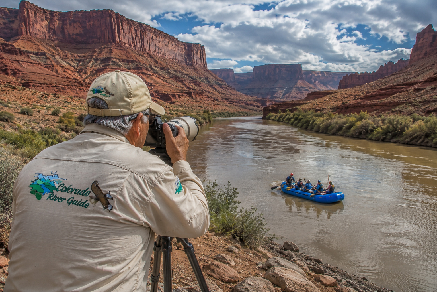
Before leaving Moab, I want to climb high above the river one more time.
Dead Horse Point State Park stands approximately 2,000 feet above the Colorado River.
From the overlook, the Colorado curls through the canyon far below while cliffs, mesas and buttes march toward the horizon.
This is the sort of landscape that makes a photographer very quiet.
Utah State Parks describes layers of Wingate, Kayenta, Navajo, Chinle, Moenkopi and other formations exposed throughout the country below us. Millions of years of deposition, uplift and erosion created the landscape, while the Colorado River patiently cut deeper into the rising Colorado Plateau. (Utah State Parks)
I can stand there with my telephoto lens and isolate a bend in the river.
Then I can switch to a wide-angle lens and discover that the river is only one thread in a landscape almost too large for a photograph.
That's canyon country.
The camera never quite gets all of it.
Our previous chapter, Colorado River Grand Junction to Moab, brought us into this country through Highway 128 and the old Western movie locations. Now we're going deeper. (Colorado River Guide)
Leaving Moab on the Colorado River
The Colorado River leaves the Moab Valley and flows southwest.
Above us is desert.
Below us is increasingly deep canyon.
The road companionship we've enjoyed for much of this journey begins disappearing.
That's significant.
For hundreds of miles we've been able to follow portions of the river by highway.
Highway 40.
Interstate 70.
Colorado River Road.
Utah Highway 128.
Now the river heads into country where boats become the highway.
From the Moab boat ramp, Canyonlands National Park lists the river distance to the Green River confluence at about 63 miles.
From Potash, it's about 48 miles.
These upper reaches are largely flatwater, but everything changes below the confluence. (National Park Service)
Canyonlands National Park
Canyonlands is appropriately named.
There isn't one canyon.
There are canyons inside canyons beside canyons.
The park is divided into districts including Island in the Sky, The Needles and The Maze, with the Colorado and Green rivers creating much of the fundamental geography.
From high overlooks, the country resembles some enormous stone map.
White Rim Sandstone traces canyon edges.
Wingate cliffs form great vertical walls.
Needles, towers, mesas and buttes rise from the desert floor.
And down at the bottom are the rivers.
The Colorado approaches from the northeast.
The Green comes from the north.
Eventually they meet.
The Green River Meets the Colorado
I have always loved river confluences.
Two rivers arrive with different histories.
Different headwaters.
Different tributaries.
Different colors sometimes.
Then they touch.
From that instant downstream, there is no longer a Green River and Colorado River.
There is simply the Colorado.
The Green River is the Colorado's largest tributary.
Its headwaters rise in Wyoming's Wind River Range. It flows through Wyoming and Utah, receiving major tributaries including the Yampa, White and Duchesne rivers before reaching Canyonlands.
Think about that watershed.
Snow falling in distant Wyoming mountains eventually arrives here.
Snow from Colorado's Rocky Mountains arrives from another direction.
The rivers meet beneath the canyon walls.
Then everything heads south together.
The National Park Service lists the Colorado River distance from Moab to the confluence at about 63 miles, while a Green River trip from Green River State Park to the confluence covers roughly 122 river miles. (National Park Service)
That's a lot of Western country meeting at one point.
Ancient People of Canyon Country
People knew these rivers long before maps labeled them Colorado and Green.
Ancestral Puebloan and Fremont peoples used portions of Canyonlands and the surrounding region, farming where dependable water and soil permitted and supplementing agriculture with hunting and gathering.
The National Park Service notes that the nearby Abajo Mountains supplied precious water used by early Native Americans growing corn, beans and squash.
Water was never an accessory here.
It determined where life was possible. (National Park Service)
Archaeological sites, rock art, granaries and other evidence remain throughout the broader canyon country.
They deserve tremendous respect.
I photograph such places.
I don't rearrange them.
I don't take anything.
I don't carve my name beside somebody's thousand-year-old story.
Canyonlands regulations prohibit disturbing archaeological and historic sites, and river parties cannot camp within 300 feet of them. (National Park Service)
Some things belong exactly where history left them.
Rafting the Colorado Through Canyonlands
Above the confluence, both the Colorado and Green offer long flatwater trips.
That doesn't mean easy in the casual sense.
This is remote desert country.
There are few roads.
Summer temperatures can be brutal.
Wind can transform calm water into work.
And once committed to a multi-day river trip, you're carrying your little civilization with you.
The National Park Service requires a river permit for all noncommercial river travel in Canyonlands, including flatwater trips above the confluence and whitewater trips below it. (National Park Service)
Then we reach the confluence.
And the river wakes up.
Cataract Canyon
Downstream from the Green River confluence lies Cataract Canyon.
This is not the Moab Daily.
Cataract contains about 14 miles of rapids, reaching Class V difficulty, depending upon river flow. The National Park Service calls it a hazardous and isolated section subject to extreme fluctuations in water level. (National Park Service)
The confluence-to-Hite/North Wash journey is about 47 river miles, generally taking two to three days according to NPS trip-planning information. (National Park Service)
Names such as Big Drop have earned their reputations.
During high water, Cataract can become enormously powerful.
I've spent enough time around boats to know the difference between confidence and foolishness.
This is country for experienced private boaters or professional outfitters.
For the rest of us, a commercial guide lets us appreciate the canyon without pretending we acquired whitewater expertise over breakfast.
The Colorado River Becomes Lake Powell
Eventually the character of the water changes again.
Historically, the Colorado continued through Glen Canyon as a free-flowing river.
Then Glen Canyon Dam was completed near Page in the 1960s.
Water backed upstream.
Canyons flooded.
Lake Powell was born.
At full pool, Lake Powell reaches elevation 3,700 feet.
But that number belongs more to maps and history than to the lake we see in 2026.
Reclamation reported that Lake Powell ended July 2026 at 3,522.41 feet, roughly 178 feet below full pool, holding about 5.39 million acre-feet, or only about 23% of live storage capacity. (USBRA)
That changes everything.
Shorelines.
Boat ramps.
Marinas.
Fishing habitat.
Travel distances.
Navigation.
Places that were once underwater have returned to daylight.
Old river channels are reappearing.
Hite Crossing Bridge
Approaching the upper end of what historically was Lake Powell brings us toward Hite.
The modern highway crossing carries Utah Highway 95 across the Colorado River near the upper lake.
Before bridges, crossing this river was considerably more interesting.
And considerably wetter.
Cass Hite arrived in Glen Canyon in 1883 looking for gold. The crossing near Hite became known as Dandy Crossing and eventually supported ferry service beginning in 1946.
The ferry operated until June 5, 1964, when rising Lake Powell and the construction of bridges made it unnecessary. (National Park Service)
Whenever I cross a big Western river on a modern bridge, I try to imagine arriving there with horses and a wagon.
Our definition of an inconvenient travel day has changed considerably.
Hite Overlook
The Hite Overlook provides one of the most revealing views of the modern upper Lake Powell country.
And in 2026, it tells a sobering story.
At current low water, Lake Powell does not reach the Hite launch ramp.
The upper reservoir has retreated far downstream, and portions of the original river corridor have returned.
For a photographer, the overlook is fascinating.
For someone who remembers a fuller Lake Powell, it can be startling.
Water levels aren't an abstraction when you can see old bathtub rings hundreds of feet above today's shoreline.
Hite Marina Campground and Recreation Area
Here's where current information matters.
Historically, visitors knew Hite for a marina, campground, boat launch and other services.
That is not the Hite of August 2026.
The National Park Service says all services at Hite are closed until further notice.
The ranger station is closed.
The old Hite launch ramp is out of the water.
Lake Powell does not currently reach Hite.
The North Wash Cataract Canyon raft takeout has also been affected, although Utah and NPS have been working on temporary access solutions for river rafters. (National Park Service)
NPS still identifies designated camping areas in the broader Hite district, but anyone planning to camp here should treat it as remote desert travel and verify current access immediately before departure. (National Park Service)
No fuel.
No groceries.
No assumption that help is five minutes away.
This is one place where preparation isn't merely convenient.
The Dirty Devil River
Near Hite, the Dirty Devil River joins the Colorado.
It's one of those wonderfully Western river names.
The Dirty Devil drains an enormous region of southern Utah, including desert country where streams may vary dramatically with runoff and thunderstorms.
Its confluence is another reminder that Lake Powell is not simply a lake.
It is a drowned river system.
Beneath those long arms and canyon branches are the old courses of rivers and creeks.
Halls Crossing
Farther downstream lies Halls Crossing.
This has traditionally been one of the major access points to the central portion of Lake Powell.
Halls Crossing sits on the Utah side of the lake, opposite Bullfrog, roughly 95 miles by water upstream from Glen Canyon Dam. (National Park Service)
Normally, Halls Crossing offers marina services, fuel, a store, campground and other facilities.
But once again, 2026 water levels have changed operations.
As of this summer, the Halls Crossing public launch ramp is closed to vessels at the current elevation. NPS says the ramp requires approximately elevation 3,555 to 3,557 feet to operate. The campground and some land-based concession services remain subject to seasonal schedules, while boat fuel remains available at Halls Crossing. (National Park Service)
This is why I would never tow a boat hundreds of miles to Lake Powell based upon what worked during my last trip.
Check before leaving.
Then check again.
The San Juan River Joins Lake Powell
The San Juan River is another giant in the Colorado River family.
Its headwaters rise in Colorado's San Juan Mountains.
From there it travels through New Mexico and Utah before entering Lake Powell.
The San Juan drains country occupied by Native peoples for thousands of years and flows through some of the most culturally and archaeologically rich landscapes in the Southwest.
Its flooded lower canyon forms one of Lake Powell's great arms.
For boaters and anglers, the San Juan arm can feel like a lake of its own.
For me, it is another reminder of how enormous the Colorado River watershed has become.
Colorado.
Wyoming.
Utah.
New Mexico.
Arizona.
All sending water toward the same river.
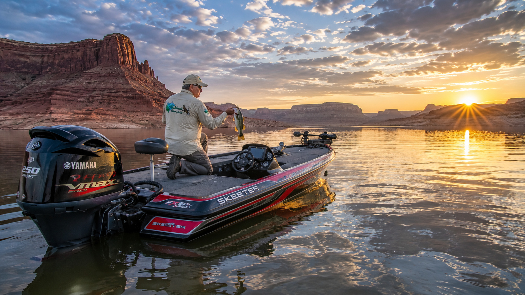
Lake Powell: A Fisherman's Maze
Now we come to the fishing.
And Lake Powell is a fascinating fishery.
Utah DWR specifically identifies it as an outstanding boat-fishing destination for striped bass, walleye, largemouth bass, smallmouth bass, bluegill, crappie and catfish. (Utah Division of Wildlife Resources)
For this chapter, I'm concentrating on four species:
Largemouth bass
Smallmouth bass
Striped bass
Walleye
Each occupies the lake differently.
And each gives me a reason to carry another rod.
That's my excuse, anyway.
Lake Powell Habitat and Structure
Lake Powell is primarily a structure fishery.
Rock dominates.
Sandstone points.
Broken rock.
Talus slopes.
Cliff walls.
Submerged ledges.
Old creek channels.
Canyon intersections.
Secondary points.
Humps.
Rock piles.
Flooded washes.
When water rises, newly flooded terrestrial brush and vegetation can create excellent temporary largemouth habitat.
But unlike a shallow Southern reservoir filled with hydrilla, milfoil or coontail, Lake Powell generally doesn't offer enormous expanses of classic aquatic vegetation.
This is rock country.
The falling and rising lake exposes and inundates different layers of habitat every year.
That means yesterday's shoreline pattern may now be twenty vertical feet above or below the fish.
I fish the lake that's there.
Not the lake I remember.
Lake Powell Fishing by Season
January and February: Deep and Slow
Winter water is cold.
Bass metabolism slows.
Smallmouth often hold deeper along rocky points, ledges and steep breaks.
I would look roughly 25 to 60 feet deep, sometimes deeper depending upon forage and conditions.
For smallmouth, I'd use:
A 6½- to 7-foot medium-light spinning rod, 2500-size reel, 8- to 10-pound braid with a 6- to 8-pound fluorocarbon leader.
My first choices would be:
-
3- to 4-inch drop-shot worms
-
Ned rigs
-
Small tube jigs
-
¼- to ½-ounce football jigs
Natural colors rule.
Green pumpkin.
Brown.
Smoke.
Watermelon.
Stripers may hold in deep schools associated with shad.
Electronics become tremendously valuable.
Find the bait.
Find the stripers.
Vertical jigging with spoons can be effective once fish are located.
March: The Lake Begins Waking
As water climbs through the upper 40s and into the 50s, bass begin moving.
Smallmouth start transitioning from winter depth toward staging structure.
Look for secondary points and rocky transitions leading into spawning coves.
Largemouth move toward protected pockets with brush and warmer water.
This is when a suspending jerkbait becomes difficult for me to put down.
Use 3½- to 5-inch jerkbaits in shad, translucent silver, ghost minnow and natural baitfish colors.
Long pauses in cold water.
Shorten the pause as water warms.
April: Bass Country
April is one of my favorite Lake Powell months.
Smallmouth move shallow as water approaches spawning temperatures.
Rocky flats, gravel banks, protected coves and secondary points become productive.
Largemouth seek the warmest protected water, particularly where flooded brush or woody cover exists.
For smallmouth:
-
Ned rigs
-
Tube jigs
-
Drop shots
-
3- to 4-inch grubs
-
Jerkbaits
-
Small crankbaits
For largemouth:
-
⅜-ounce jigs
-
Texas-rigged soft plastics
-
Spinnerbaits
-
Jerkbaits
-
Small swimbaits
Work slowly early.
Speed up as the water warms.
May: Everybody Comes to Dinner
Utah DWR's May 2026 guidance specifically called Lake Powell fishing outstanding for stripers, walleye, largemouth and smallmouth bass, among other species. (Utah Division of Wildlife Resources)
Bass may be spawning or transitioning into post-spawn patterns depending upon elevation, location and water temperature.
Smallmouth can be wonderfully aggressive.
This is prime time for shoreline fishing with plastics and small reaction baits.
Walleye fishing also improves significantly.
DWR fisheries research documents a strong Lake Powell walleye population supported in part by the lake's shad forage. (Utah Division of Wildlife Resources)
For walleye, I work:
-
⅛- to ¼-ounce jigheads
-
3- to 4-inch curly-tail grubs
-
Minnow-style plastics
-
Bottom bouncers
-
Worm harnesses
-
Small crankbaits
Fish rocky flats, points and gradually sloping shorelines, particularly during low-light periods.
June: Follow the Moving Fish
As the lake warms, post-spawn bass spread.
Smallmouth remain closely associated with rock.
Early morning can provide shallow action.
By midday I begin moving deeper.
Striped bass increasingly organize around shad.
This is when watching birds and surface disturbances becomes part of fishing.
A quiet lake can suddenly explode.
Stripers push shad upward.
Birds arrive.
Water boils.
And everybody aboard the boat discovers exactly how quickly they can pick up a rod.
July and August: Striper Boils
Summer is striper season in my mind.
Schools of striped bass pursue shad through open water.
Early morning and evening are particularly good times to watch for boils.
I want a 7-foot medium or medium-heavy spinning rod, a 3000- to 4000-size reel and 10- to 20-pound braid with an appropriate fluorocarbon or monofilament leader.
Useful striper lures include:
-
½- to 1-ounce topwater plugs
-
Walking baits
-
3- to 5-inch swimbaits
-
Spoons
-
Bucktail jigs
Match the shad.
White.
Pearl.
Silver.
Chrome.
Shad gray.
When fish sound, use electronics and vertical spoons.
Bass fishing becomes an early-morning and deeper-structure game.
September: One of My Favorites
September begins easing the furnace.
Shad remain the key.
Stripers feed.
Smallmouth become increasingly active as temperatures moderate.
I work rocky points, humps, canyon mouths and broken shoreline.
Topwater fishing can return strongly when bait is shallow.
A walking bait thrown across a calm desert cove at sunrise is about as pleasant a way to start a day as I've found.
October: Fall Feeding
Cooling water triggers another feeding period.
Smallmouth chase bait along rocky banks.
Stripers continue following shad.
Largemouth use remaining cover and protected coves.
Reaction baits become important again.
Crankbaits.
Spinnerbaits.
Jerkbaits.
Swimbaits.
Topwaters early.
Then jigs and plastics as fish move deeper.
November and December: Follow the Shad Down
Cooling water begins concentrating fish deeper again.
Electronics become increasingly important.
Smallmouth settle toward steep rocky structure.
Stripers form deeper schools.
Walleye can remain catchable along deep points and breaks.
Slow down.
Vertical presentations become increasingly useful.
The desert above water may look asleep.
The lake beneath you isn't.
My Lake Powell Tackle by Species
Largemouth Bass
Rod: 7-foot medium-heavy baitcasting rod
Reel: 7:1 baitcaster
Line: 12- to 17-pound fluorocarbon; heavier braid around substantial flooded cover
Lures: ⅜- to ½-ounce jigs, Texas rigs, spinnerbaits, 4- to 5-inch swimbaits, jerkbaits
Colors: green pumpkin, watermelon, brown, shad, white
Depth: shallow during spring, deeper points and cover during summer
Largemouth are generally more cover-oriented than Powell smallmouth.
Find the best brush and protected habitat available.
Smallmouth Bass
This is classic Lake Powell fishing.
Rod: 6'10" to 7'3" medium-light or medium spinning rod
Reel: 2500-size spinning reel
Line: 8- to 10-pound braid with 6- to 10-pound fluorocarbon leader
Lures: Ned rigs, tubes, drop shots, grubs, small crankbaits, jerkbaits, topwaters
Colors: green pumpkin, brown, smoke, watermelon, crawfish, shad
Depth: from inches of water during spring to 40 feet or more seasonally
If there is broken rock, I expect a smallmouth to be somewhere nearby.
Striped Bass
Rod: 7- to 7½-foot medium to medium-heavy spinning or casting rod
Reel: 3000-4000 spinning reel or sturdy baitcaster
Line: 10- to 20-pound braid with 10- to 20-pound leader
Lures: topwaters, spoons, swimbaits, bucktails
Colors: white, pearl, silver, chrome, shad
Depth: surface during boils to deep water when schools follow shad down
Stripers are roamers.
Don't fall in love with yesterday's waypoint.
Follow the bait.
Walleye
Rod: 6½- to 7-foot medium-light spinning rod
Reel: 2500 spinning reel
Line: 8-pound braid with 6- to 10-pound fluorocarbon leader
Lures: jigs, grubs, worm harnesses, bottom bouncers, minnow plugs and crankbaits
Colors: chartreuse, pearl, white, natural shad, firetiger when conditions call for visibility
Depth: shallow low-light feeding areas through deeper daytime structure, often 15 to 40-plus feet seasonally
Walleye eyes tell the story.
Low light is their friend.
Dawn.
Dusk.
Clouds.
Wind chop.
Mudlines.
That's when I start thinking like a walleye fisherman.
Lake Powell Fishing Records
Lake Powell has produced some serious fish.
Most impressive to me are two Utah catch-and-keep records that still belong to Lake Powell:
Largemouth bass: 10 pounds, 2 ounces, caught by Sam LaManna in 1974.
Striped bass: 48 pounds, 11 ounces, caught by Travis T. Jenson in 1991. It measured 45 inches with a 31¼-inch girth. (Utah Division of Wildlife Resources)
Lake Powell also holds Utah's current catch-and-release striped bass record, a 44½-inch striper caught by Heather Litke in 2019. (Utah Division of Wildlife Resources)
For comparison, Utah's current smallmouth catch-and-keep record is 7 pounds, 6 ounces from Midview Reservoir, not Lake Powell. The current Utah walleye catch-and-keep record is 15 pounds, 9 ounces from the Provo River. (Utah Division of Wildlife Resources)
So I wouldn't describe a non-existent "Lake Powell record" for those two species.
I'd rather tell you what the official book actually says.
Quagga Mussels and Lake Powell Boats
Lake Powell is infested with quagga mussels.
That means every boater has a responsibility not to carry them somewhere else.
Utah DWR and NPS emphasize Clean, Drain and Dry procedures and required inspection or decontamination protocols. (Utah Division of Wildlife Resources)
Drain the livewell.
Drain the bilge.
Drain ballast.
Check the motor.
Clean equipment.
Follow the current requirements before leaving.
One careless boat can move an invasive species into another lake.
Lake Powell Wildlife
Lake Powell's shoreline may look barren from a distance.
It isn't.
This country supports desert bighorn sheep, mule deer, coyotes, bobcats, mountain lions, ringtails, rabbits and numerous reptiles.
Above us are golden eagles, red-tailed hawks, peregrine falcons, ravens and waterfowl.
Near the water, great blue herons patrol shorelines.
I particularly enjoy looking for desert bighorns.
They blend into sandstone with an almost unfair effectiveness.
One moment you're looking at an empty cliff.
Then the cliff moves.
That's when the telephoto lens comes out.
Wahweap Marina
Eventually we reach the great southern gateway to Lake Powell.
Wahweap Marina sits near Page, Arizona, not far upstream from Glen Canyon Dam.
This remains one of Lake Powell's principal boating centers.
NPS lists Wahweap among the locations providing lodging, restaurants, boat tours, rentals, campground facilities, retail services and marina operations. Boat fuel is currently available at Wahweap. (National Park Service)
But again, low water affects launching.
In spring 2026, Utah DWR reported motorized launching available at Stateline Auxiliary near Wahweap and at Bullfrog North. Ramp conditions have continued changing with lake elevation. (Utah Division of Wildlife Resources)
Before I tow a bass boat toward Page, I check the NPS Changing Lake Levels page.
No exceptions.
Page Arizona
Page is one of those towns that exists because of the Colorado River.
It developed during construction of Glen Canyon Dam and today serves as the principal gateway to the southern end of Lake Powell.
The city sits high above the surrounding desert.
Nearby are Wahweap.
Glen Canyon Dam.
Antelope Canyon.
Horseshoe Bend.
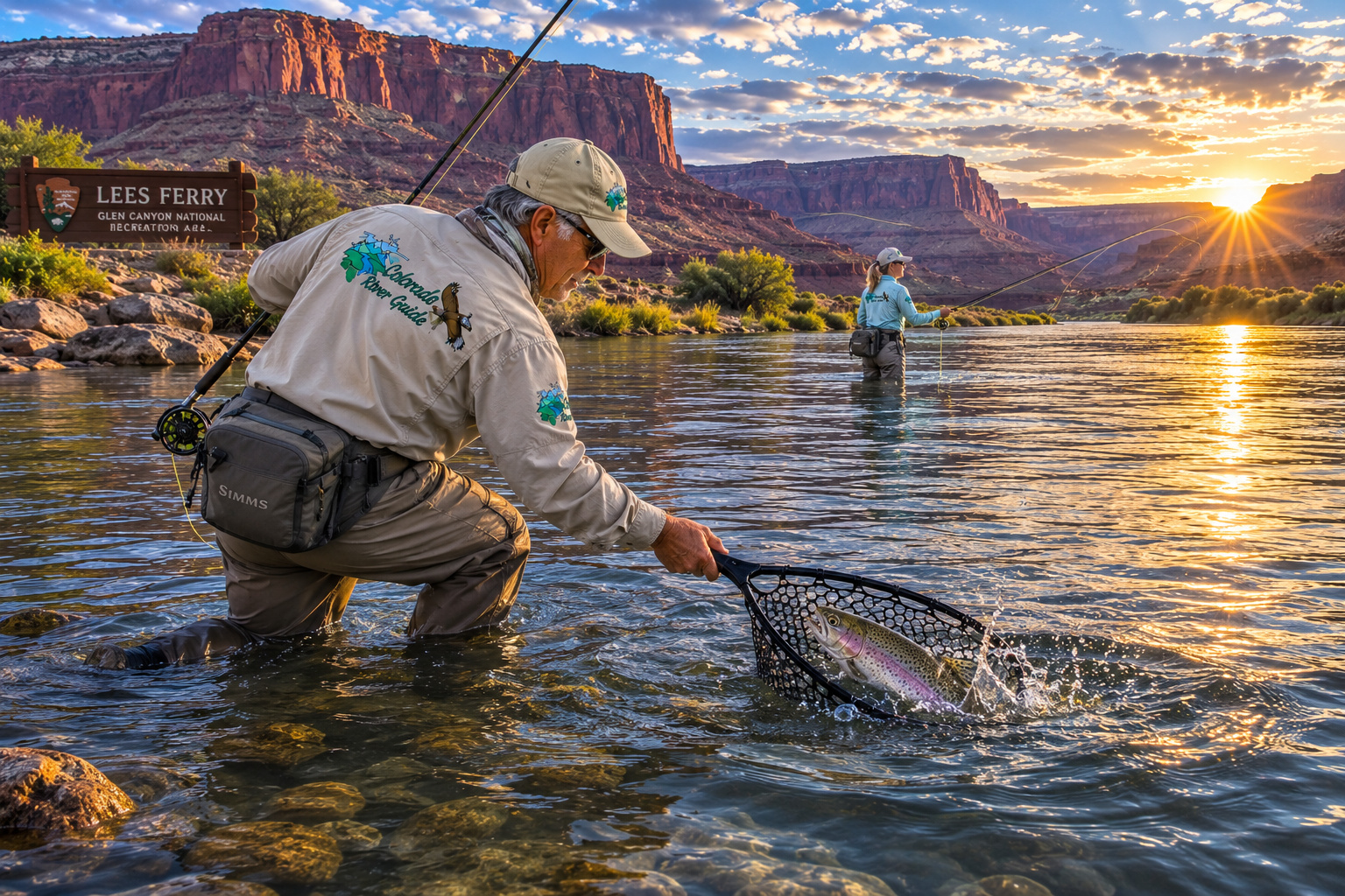
Lees Ferry farther downstream.
And more red sandstone than a photographer could wear out in several lifetimes.
Page is where this chapter ends.
But the Colorado River doesn't.
Far from it.
Below Glen Canyon Dam waits another remarkable transformation.
The water emerging from the depths of Lake Powell becomes cold again.
And suddenly, in the middle of Arizona desert country, we're about to have a world-class trout river.
Our earlier Fly Fishing the Colorado River story gives a preview of what lies below the dam at Lees Ferry. (Colorado River Guide)
Camping From Moab to Page
Camping possibilities along this journey are extraordinary, but they range from developed campgrounds to genuine backcountry travel.
Around Canyonlands, permits govern overnight river travel.
At Hite, services are currently closed, so campers must verify access and arrive self-sufficient.
Halls Crossing continues to have campground and RV facilities subject to seasonal concession operations.
At Wahweap, developed camping puts visitors near Page and the lower lake. (National Park Service)
For me, the best campsite still has one basic qualification.
I want to hear water.
A river moving past camp after dark has always been better entertainment than television.
Weather Through the Seasons
Spring
Spring can be magnificent.
Days warm.
Nights remain cool.
Desert flowers appear after favorable winter moisture.
But the Colorado and Green rivers begin responding to Rocky Mountain snowmelt.
Cataract Canyon flows can rise dramatically.
Lake Powell bass move shallow.
This is one of my favorite combinations of fishing and photography.
Summer
Summer is serious desert country.
Temperatures around Lake Powell can exceed 100°F.
Drink water before you're thirsty.
Wear sun protection.
Start early.
Summer thunderstorms can produce flash floods in narrow canyons even when the storm itself is miles away.
Never underestimate a dry wash.
Fall
Fall may be the sweet spot.
Warm water.
Cooling air.
Active bass and stripers.
Fewer brutal midday temperatures.
Long shadows on red sandstone.
For Paulette and me, that's hard country to drive through without stopping every few miles for another photograph.
Winter
Winter is quiet.
Cold nights are common.
Snow sometimes dusts the sandstone.
Boating traffic falls dramatically.
Services become limited.
But winter light in canyon country can be spectacular.
A fresh white layer on red sandstone under a cobalt sky is enough to make me forget how cold my fingers are.
Getting From Moab to Page
This is where following the Colorado River becomes interesting.
There is no highway that simply follows the river from Moab to Page.
The river enters Canyonlands and Cataract Canyon, where roads disappear.
For river travelers, boats provide the route.
For highway travelers, we have to circle around the canyon country.
From Moab, one practical route follows U.S. 191 south toward Monticello and Blanding.
From Blanding, Utah Highway 95 leads west toward Hite Crossing.
That route gives access to Hite Overlook and the upper Lake Powell country.
To reach Halls Crossing, use Highway 276 south from Highway 95.
From there, continuing toward Page by road requires navigating the sparse highway network around Lake Powell, usually returning through southeastern Utah and northern Arizona depending upon ferry status and chosen route.
The Halls Crossing-Bullfrog ferry can change the equation when operating, but its schedule and operation depend upon conditions, so NPS recommends checking current Utah DOT information. (National Park Service)
For a straightforward Moab-to-Page drive without the Hite and Halls Crossing detours, U.S. 191 south through southeastern Utah and then routes across northern Arizona provide the practical alternative.
But if we're exploring the Colorado River rather than merely trying to reach Page?
I want Hite.
I want the overlook.
I want to see what the lake level looks like with my own eyes.
A River Hidden Beneath a Lake
Lake Powell fascinates me because I can never entirely forget what's underneath it.
A river.
The Colorado River is still there.
The San Juan is still there.
Creeks still enter.
Old canyon walls continue downward beneath the surface.
The reservoir changed the landscape enormously, but gravity didn't change.
Water still arrives from the mountains.
It still travels downhill.
It still heads toward the sea.
And in 2026, with Lake Powell sitting far below full pool, we're seeing pieces of the old canyon country return.
That brings complicated feelings.
Lake Powell is a magnificent recreational fishery.
It supplies water.
It generates hydropower.
It supports communities and recreation.
Yet beneath its water lies Glen Canyon, a landscape earlier river travelers described with extraordinary affection.
Both stories are true.
The modern Colorado River is full of those contradictions.
From a Mountain Trout Stream to Lake Powell
Sometimes I think back to where we began.
The Colorado River headwaters near Rocky Mountain National Park were small enough to walk beside.
Our Colorado River Headwaters to Grand Lake journey followed trout through mountain meadow country. (Colorado River Guide)
Then the river grew.
The Blue joined it.
The Eagle.
The Roaring Fork.
The Gunnison.
The Dolores.
Now the Green River and San Juan have entered the story.
The river has become enormous.
And human beings have built an equally enormous reservoir across its path.
If you want to see the entire journey in perspective, my Colorado River from the Rocky Mountain Headwaters to the Gulf of California overview follows the river all the way from Colorado snow to Mexico. (Colorado River Guide)
And if you want to see what happens much farther downstream, Colorado River Davis Dam and Lake Mohave shows another reservoir, another desert and another entirely different personality of this same remarkable river. (Colorado River Guide)
That's five internal links from the Colorado River Guide site woven naturally into this chapter, including the earlier Moab story and the Lake Powell/Lees Ferry connection.
Standing Above the Colorado at Page
By the time Paulette and I reach Page, we've traveled through country that could fill an entire lifetime of photographs.
Dead Horse Point.
Canyonlands.
The Green River confluence.
Cataract Canyon.
Hite.
The San Juan.
Lake Powell.
Hundreds of sandstone coves and canyons.
And now we're standing near Glen Canyon Dam.
The Colorado River has traveled hundreds of miles since we first found it in the Rocky Mountains.
But here is the remarkable part.
We're nowhere near finished.
Below us lies Lees Ferry.
Then Marble Canyon.
The Grand Canyon.
Lake Mead.
Hoover Dam.
Lake Mohave.
Lake Havasu.
The lower Colorado.
Mexico.
And eventually the river's historic delta at the Gulf of California.
I look downstream and think about all that country still waiting.
Then I look back across Lake Powell.
The sandstone is turning orange in the evening light.
A boat wake makes a silver line across the darkening water.
Somewhere beneath that surface is the old channel of the Colorado River.
And somewhere along a rocky point, probably just beyond casting distance, a smallmouth bass is waiting.
I've spent enough years fishing to know exactly what happens next.
One more cast.
Just one.
And Paulette knows perfectly well that I've been saying that for most of my life.
0 Comments